|
|
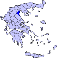
Periphery:Central Macedonia
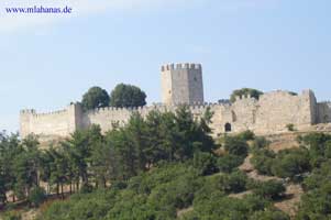
Pieria (Πιερία) is one of the fifty-one prefectures of Greece. It is located in the southern part of Macedonia (Cen. Macedonia). Its capital is the town of Katerini. Pieria is the smallest prefecture within the Macedonia periphery (region). The name Pieria originates from the ancient tribe and the ancient country of Pieris. In Pieria, there are many sites of archeological interest, such as Dion, Pydna and Platamonas. Pieria is also home to Mt. Pierus, home to Orpheus and the Muses, as well as the Pierian Spring. Mt. Olympus, the highest mountain in Greece and throne of the ancient Greek gods, is towering at the south side of Pieria. The Pierian Mountains lie to the west. Historically, Pieria was once a prefecture (department) of Thessaly. Pieria saw an economic boom in agriculture and businesses. During the Greco-Turkish War, it saw an influx of refugees from Asia Minor in what is now a part of Turkey and several places were named after their former homelands including Nea Trapezounta from Trezibond (now Trabzon) and Nea Efesos from Ephesus (now Efes), they are now belong to Turkey. Roads were being paved, Katerini saw electricity. After World War II and the Greek Civil War, Pieria was rebuilt and its population was emigrating. Electricity were introduced to the rest of the prefecture in the 1960s, television in the 1970s and the 1980s and also more pavement of roads. The GR-1 was under construction in the late-1960s and was opened to traffic in 1972 with two lanes, in the 1980s, it became two-laned in the northern part, in the 1990s, it became two laned that it went as far as the prefectural boundary with Larissa in the early-2000s. Transportation GR-1, both the old and the new highways/E75 GR-13 Municipalities
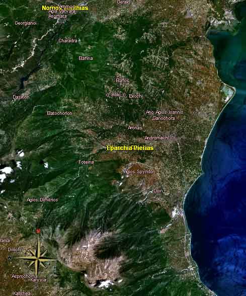
Satellite image of Pieria
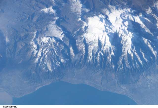
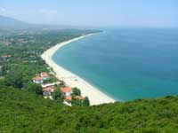
Communities Aerial Images of Pieria Links
|
|
||||||||||||||||||||||||||||||||||||||||||||||||||||||||||||||||||||||||||||||||||||||||||||||||||||||||||||||||||||||||

|
|